DDrillv7Pro 3.0.1
Device: iOS Universal
Category: Utilities
Price: $49.99, Version: 3.0.0 -> 3.0.1 (iTunes)
 Description:
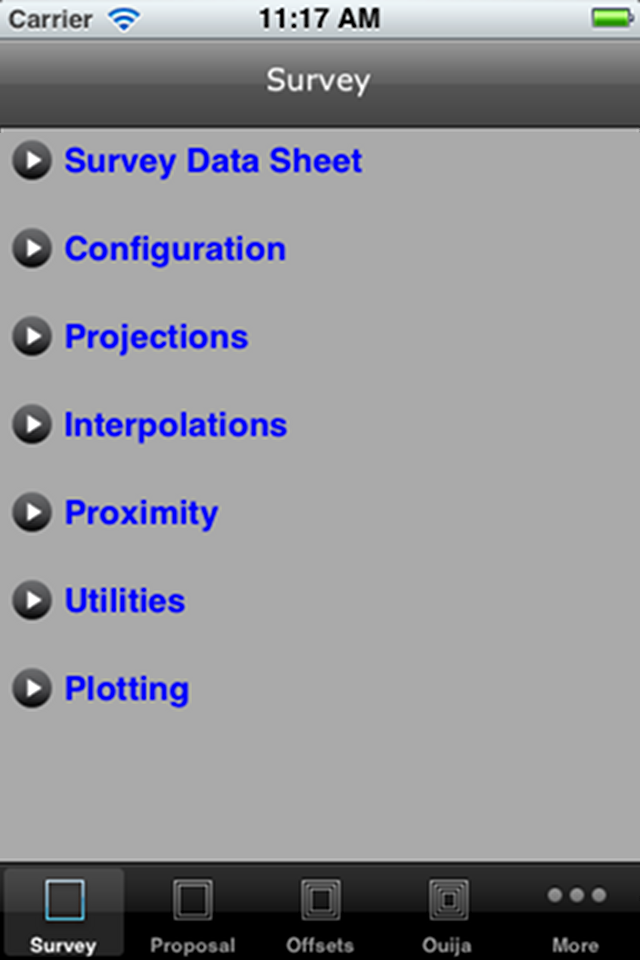
This is a Rig Floor Directional Drilling application for the iPad/iPhone/iTouch, which requires IOS6 operating system. This is not a well planning application, although one is able to project to targets from the actual survey data.The package is divided into 5 sections. The Survey section deals with the actual survey, which one is drilling, the Proposal section obviously the proposed directional design, the Offsets section, for introducing close by surveys in order to generate close approach data, a Ouija Board section and a general Settings Section.A combination of Tab and TreeView controls enables one to navigate through the app.The app presents the survey data in a Datasheeet for viewing and editing. The distance off the line from the proposal can be shown in the DatasheetOne is able to plot Section & Plan views of the survey, proposal, offsets, targets and projection data. Through the Proximity routines, one can plot Traveling Cylinder data. The app will generate reports(pdf, txt, ut), import files(xml, SAY, app specific txt & Baker Hughes csv) and plots(png, pdf) to export, using wifi server & desktop browser, email and obviously iTunes.By introducing targets, one can project to target centers or edges. Targets can be entered in local or grid coordinates.The target zones supported are a circle or a rectangle, the attitude of which can be altered, as well as polygon entry in 3D. One can import data through wifi server & desktop browser and by opening an email xml or SAY file attachment. Presently, to minimize data entry, there is a cef file for Landmarks Compass, which will generate a app specific xml to download to this app, hence one can import survey data from a major Directional Drilling survey package.Although this app is probably specific to the oilfield, river crossing calculations can also be performed.
What's New
Solved problem with hand typing a new offset survey, if as drilled survey tied to an archive.PDF file for single well proximity report, now shows correct reference angle to the choice in survey settings information.
DDrillv7Pro